Aviation / FAA Seattle Center · ZSE
The voice
on the frequency.
Seattle Center, D Area—high and low. Civil, military and presidential traffic. An entire operating picture to hold in mind.
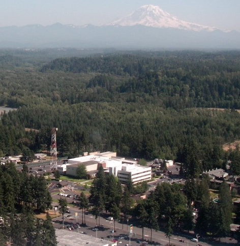
- My role
- FAA Air Traffic Control Specialist · En route
- Service
- 2009–2011
- Area of specialty
- D Area · High & low sectors
01 / The operating picture
Every instruction has a consequence.
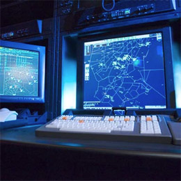
I controlled Seattle Center’s D Area, working both high and low sectors. My work encompassed aircraft separation, clearances, sector coordination, handoffs and controller–pilot communications. Civil traffic, military activity and weather occupied the same picture. The discipline was to anticipate, communicate clearly and maintain continuity as that picture changed.
The FAA describes ZSE’s coverage as approximately 300,000 square miles across six states (FAA, 2025).
My area of specialty
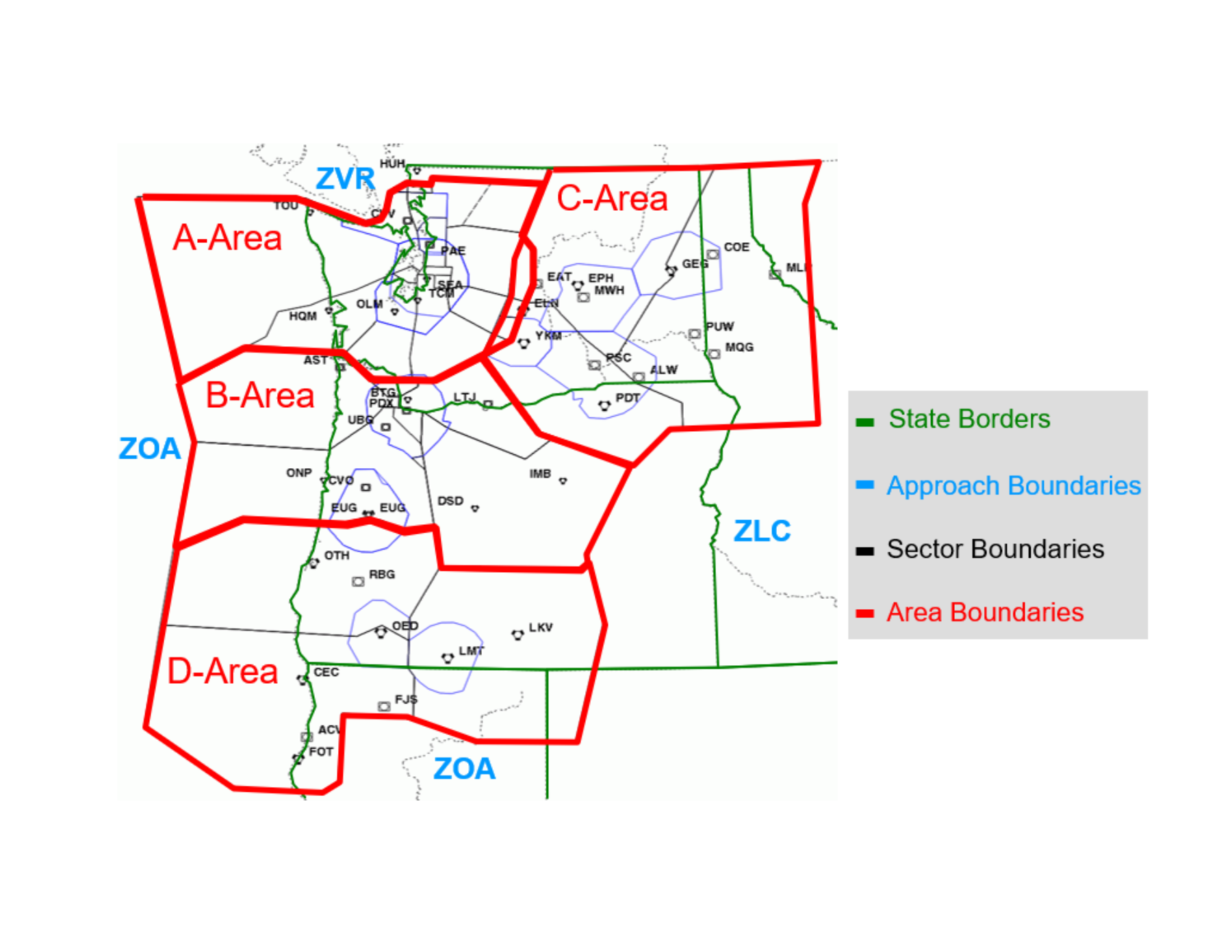
D Area. High and low.
The southern part of Seattle Center’s airspace was my operating environment. The published NOAA/NWS overview below identifies D Area within ZSE; the archived high and low maps show the sector structure in greater detail.
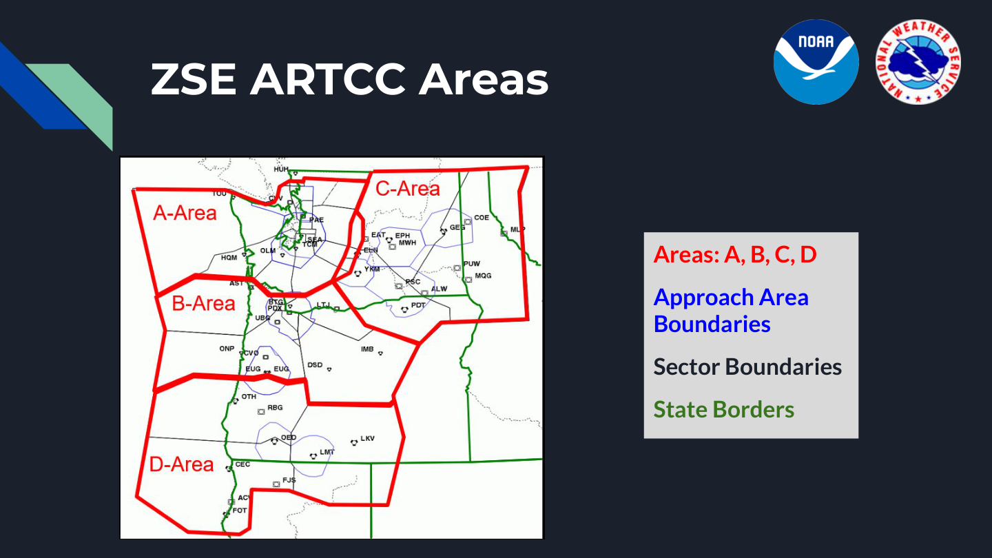
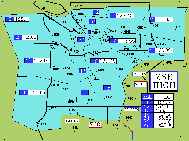

The high and low map publication dates are unverified. They are historical visual references, not current operational charts. Source map index.
02 / Civil & military airspace
A different kind of formation.
I controlled military traffic associated with southeastern Oregon’s MOAs: F-15s from Klamath Falls and Mountain Home, AWACS aircraft and KC-135s working refueling tracks. Aircraft with very different missions still required one coherent traffic picture.
Coordination mattered as much as the clearance. The experience brought fighter operations, en-route traffic and the demands of shared airspace into a single professional perspective.
03 / Presidential aviation
Air Force One.
The same exacting standard.
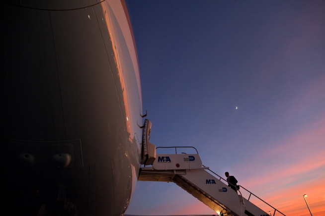
I controlled Air Force One during President Barack Obama’s administration. It remains a memorable part of my Seattle Center experience: a distinctive aircraft and callsign, handled with the attention to separation, coordination and communication that the profession demands.
04 / The real geography
The airspace around the mission.
Training carried forward
From the scope to the cockpit.
FAA Academy
- Air Traffic Basics
- Initial En-Route Training
- User Request Evaluation Tool
Operational practice
- Separation and clearances
- Sector coordination and handoffs
- Military and civilian traffic
- Weather and changing priorities
Applied today
A controller’s attention to information, workload and communication informs my commercial flying, aircraft simulation testing and FALCRIN’s pilot interface development.
Photographs & technical references